Log in
All resources
Create a design
441 Free Artworks of Maps Of Belgium
city
engraving
ciudad
grabados
fondo antiguo
bélgica
libros del siglo xvi
nouus de leone belgico..., 1588
bibliothèque nationale de france
charleroi on maps of popp
maps by willem and johannes blaeu
1640s maps of belgium
tresor des cartes geographiques (1659)
old maps of the benelux
old maps of namur (province)
1640s maps of belgium
old maps of damme
atlas van loon
1580s maps of belgium
copper engravings
map of ghent by jan blaeu
maps by frederick de wit
maps of 's-hertogenbosch by braun & hogenberg
maps of leuven by braun & hogenberg
maps in the british museum
old maps of dunkerque
old maps of ghent by jacques horenbault
1619 maps
charleroi on maps of popp
1870 drawings by félicien rops
symbolism,decadent movement
old maps of spanjaardenkasteel
flandria illustrata
map of bruges by marcus gheeraerts (i)
saint christopher churches in belgium
map of ghent by harrewijn
jacobus harrewijn
map of ghent by jan blaeu
flandria illustrata
maps of the waterloo campaign
emery walker
maps of aalst by braun & hogenberg
coats of arms on maps
engravings of castles in belgium
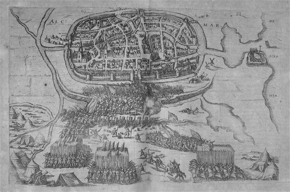
old maps of ypres
maps of liège by johannes blaeu - derivative files
couvent des augustins de liège
charleroi on maps of popp
couillet
old maps of brabant
1666 in belgium
maps of ghent by petrus schenck
1709
charleroi on maps of popp
lodelinsart
pages of books about history
flandria illustrata
map of bruges by marcus gheeraerts (i)
place de la digue (charleroi)
charleroi on maps of popp
map of ghent by jan blaeu
sint-lievenspoort (ghent)
maps by john cary
1799 maps
maps by pieter van der keere
1610s maps of belgium
charleroi on maps of popp
broucheterre
charleroi on maps of popp
cour dejean (lodelinsart)
flandria illustrata
antonius sanderus
maps of duisburg by braun & hogenberg
maps of emmerich by braun & hogenberg
maps of ghent by petrus schenck
maps of north america, nypl collection
novi belgii, atlas maior
1645 maps of belgium
ships on maps
maps of liège by johannes blaeu - derivative files
jesuit churches in belgium
bruxella nobilissima brabantiae civitas restauratum an° 1748
abraham dircksz. santvoort
fortifications of charleroi
old maps of charleroi
rue du collège (charleroi)
charleroi on maps of popp
maps
city
baptista van doetecum
jacques surhon
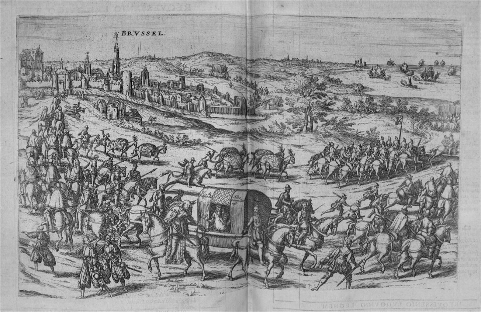
maps of brussels by braun & hogenberg
maps in the royal library of belgium
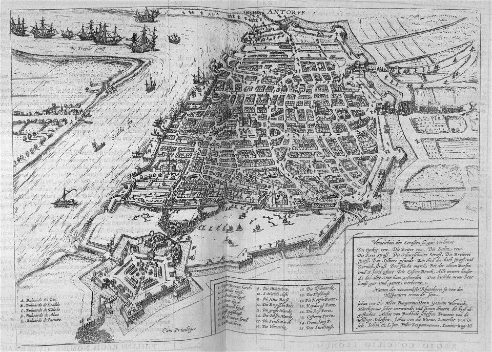
print room of the university of antwerp
lithographs of antwerp
1794 maps of the holy roman empire
english-language maps of europe
old maps of hainaut (province)
1590s maps of belgium
maps
city
maps
city
maps
city
maps
city
maps
city
maps
city
maps
city
maps
city
maps
city
maps
city
maps
city
maps
city
maps
city
maps
city
thomas robert macquoid
maps of the ardennes
1880s maps of the netherlands
1880s maps of belgium
maps from the earth and its inhabitants, vol. iii
1870s maps of belgium
maps
city
maps
city
maps
city
maps
city
maps
city
maps
city
maps
city
maps
city
maps
city
maps
city
maps
city
maps
city
maps
city
maps
city
maps
city
maps
city
maps
city
maps
city
maps
city
maps
city
maps
city
maps
city
maps of ghent by braun & hogenberg
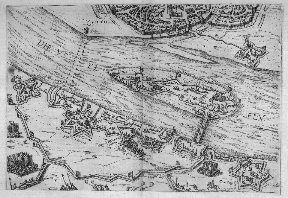
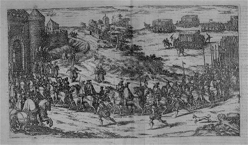
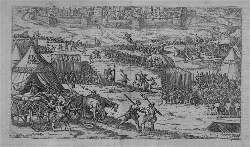
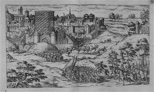
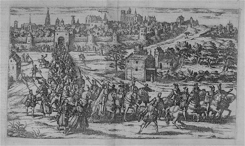
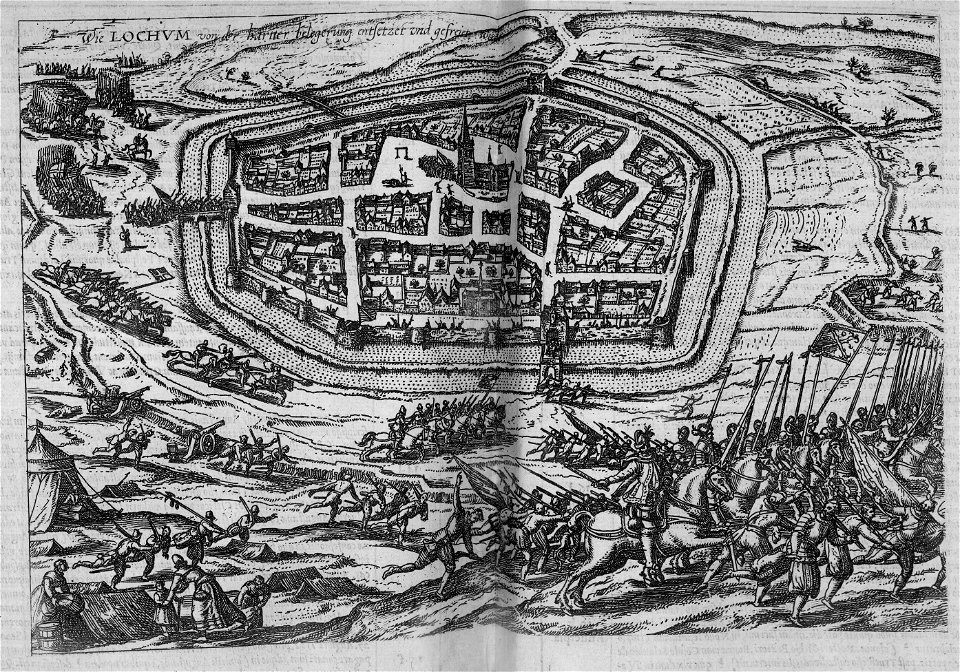
siege of ghent (1583–1584)
bibliothèque nationale de france
félix robaut
maps
city
maps
city
17th-century maps of luxembourg
maps by pieter van der keere
herman diederik joan van schevichaven
revolt of the batavi
maps
city
maps
city
maps
city
maps
city
herman diederik joan van schevichaven
maps of the history of belgium
maps
city
maps by willem and johannes blaeu
old maps of flanders
maps
city
maps of the course of the rhine by guillaume sanson
bibliothèque nationale de france
101 - 200 of 441
Next page
/ 5


![Treasure of geographical maps of the main states of the universe [...], 1659](https://cdn.creazilla.com/illustrations/10000541161/treasure-of-geographical-maps-of-the-main-states-of-the-universe-1659-md.jpg)


![Map of Belgium / lith. by F[éli]x Robaut, Félix Robaut, 1841](https://cdn.creazilla.com/illustrations/10001323570/map-of-belgium-lith-by-flix-robaut-flix-robaut-1841-md.jpg)